logoMilford Haven Maps
Home Page
Important Dates
What's On
Festivals
Bank Hol.
School Hol.
Tide & Times
Tide Times
Astronomical
Sun Rise/Set
Maps
Milford Haven
Specialist
Directories
Business
Schools
Services
List of Pembs...
Beaches
Car Parks
Charging Points
Coast Features
Hills and Valleys
Inland Water
Islands
Marine Features
Toilets
Towns&Villages
History
Pembrokeshire
Little England
Transport
Bus
Train
Driving
Rubbish
Waste/Recycle
Welsh Language
Pembs. Towns
Non-UK Visitor
Milford Time
Currency
Bank Cards
Electricity
Shopping
Dining Out
Driving
Emergency
Telephone
DigitalDan Sites
My Other Sites
Hits=676
Contact Site

Note
Some pages
may contain
inaccuracies
   DigitalDan.co.uk

Map of Milford Haven

Map of Milford Haven
The downloadable and Milford Waterfront maps include data from OpenStreenMap, NaPTAN (Open Government Dataset), CADW and DigitalDan.

DigitalDan's Other Maps of Milford Haven
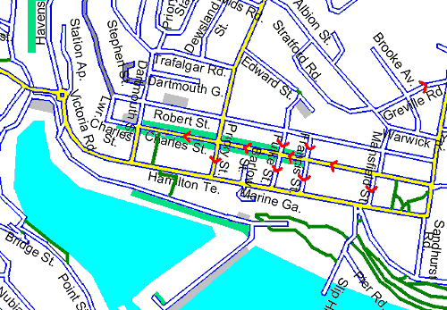
Milford Haven Map
Hakin Map
Steynton Map
Waterfront Map

Download Large Printable Map

Download a large map (4200x1800)(629k .gif) of Milford Haven - including Hakin, Gelliswick, Thornton, Steynton and Castle Pill.
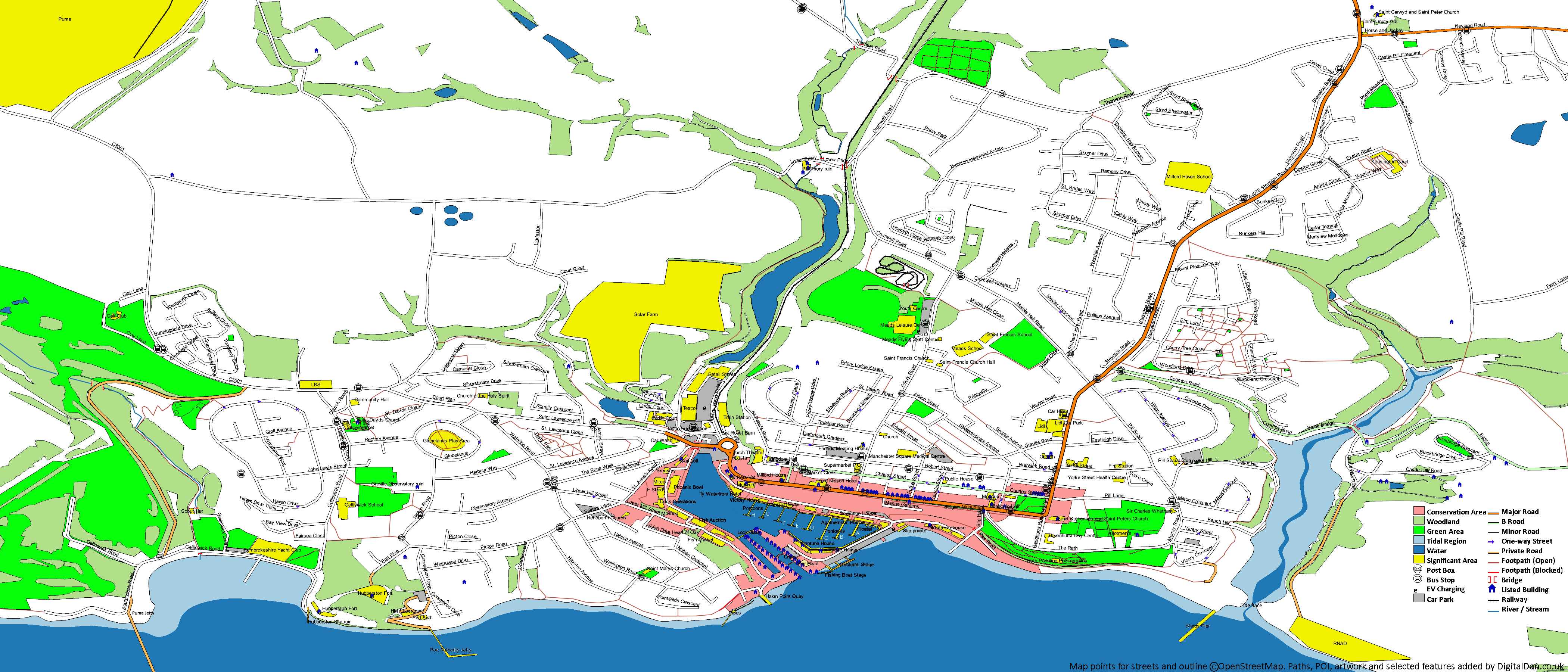
Milford Haven Map
Download Map

External Map Providers

Open Street Map
Google Maps

DigitalDan.co.uk